Reporting snapshot · 10 October 2026 (Asia/Karachi). This covers a fast-moving earthquake first reported on 9 October. Damage and casualty figures were still incomplete at the time of writing, and the USGS's automated loss figures are modelled estimates rather than observed damage. This is a dated snapshot, not a live tracker.
What happened
A magnitude 7.7 earthquake struck southern Panama at 17:56 GMT (12:56pm local time) on Friday 9 October 2026, the United States Geological Survey said, shaking buildings across the country, cutting power and briefly triggering tsunami warnings along the Pacific coast of Central and South America. The USGS placed the epicentre about 12km west-south-west of the village of Pitaloza Arriba, in Herrera province on the Azuero peninsula, at a shallow depth of roughly 12.6km. About 4.6 million people felt moderate to severe shaking, according to BBC News.
The USGS said some casualties were possible and that the quake, one of only a handful of major earthquakes recorded in Panama, was “likely to cause widespread” effects. Its automated loss estimates put economic damage at between 1 and 10 per cent of Panama’s gross domestic product, according to Reuters, reporting via Geo News. By the time of writing no deaths had been confirmed.
President José Raúl Mulino said the entire government was mobilising and appealed for calm. “What happened should not be used to cause alarm or disorder,” he wrote, according to BBC News.
A tsunami warning issued, then lifted
The US National Weather Service issued tsunami warnings for Panama, Colombia, Ecuador, Nicaragua and Guatemala after the quake, while Chile’s naval hydrographic service also issued a warning, Al Jazeera reported. BBC News said warnings initially covered 11 countries.
The alerts were short-lived. Within hours the US Tsunami Warning System confirmed there was no threat, and the USGS recorded the mainshock without a tsunami. The Panama Canal, which lies about 203km from the epicentre, continued to operate normally, its authority said, and shipping data showed scores of vessels waiting at either end of the waterway to transit. Officials instructed schools to close and suspended classes nationwide.
Where the damage was concentrated
The heaviest reported damage was in Herrera and the neighbouring province of Coclé, nearest the epicentre. Verified footage showed one side of a church in Penonomé, along with one of its spires, collapsed, and a local hotel almost completely down, BBC News reported. Al Jazeera, citing the Panamanian newspaper La Prensa, said the tower of a historic building had fallen and several balconies had come down in the same city. In Herrera’s Las Minas area, the 74-year-old resident Ricardo Brown told Reuters that the quake had damaged several homes: “We’re scared. It’s just the two of us old folks here. The house has cracked and we’re afraid it could fall on us.”
Power was down across six provinces, according to the electricity provider Naturgy. Tocumen International Airport, a regional hub, suspended flights, and Panama City’s metro halted service. In the capital, about 200km from the epicentre, damage appeared limited to debris falling from roofs, but many office buildings were evacuated and employees were sent home early. Panama’s civil protection agency reported impacts in Chitré, the capital of Herrera, and along the coast in Los Santos province.
Why the quake happened
Nestor Luque, director of Panama’s geosciences institute, attributed the earthquake to the Azuero-Soná fault system, an active set of faults on the peninsula that had slowly accumulated stress. “It’s a system of active faults that occasionally, due to the accumulation of stress, release this amount of energy,” he told Reuters, adding that the seismic waves had been felt across the national territory. Major earthquakes are rare in Panama, and the USGS said the rupture struck a sparsely populated stretch of coast, which helped limit the toll.
The mainshock was followed by more than a dozen aftershocks, the USGS logging a magnitude 6.6 tremor about 14km west of Río Grande and a magnitude 5.8 quake near El Cacao. Panama had been due to hold a national earthquake evacuation drill on the Monday after the quake.
The region has been unusually active this year. Twin earthquakes struck northern Venezuela in June, killing at least 6,500 people, and a magnitude 7.4 quake in Colombia in August killed at least 289, according to Al Jazeera. KhabarWire has previously reported on the Guerrero earthquake in Mexico, which showed how the reach of the shaking can far exceed the zone of worst damage.
Why it matters beyond Panama
Panama matters to the wider world chiefly through its canal, a chokepoint that links the Atlantic and Pacific and carries a large share of global maritime trade. The waterway escaped damage, so the quake did not add a fresh supply-chain shock to a year of Middle East shipping disruption. For import-dependent economies, that outcome is the difference between a local disaster and a global price problem.
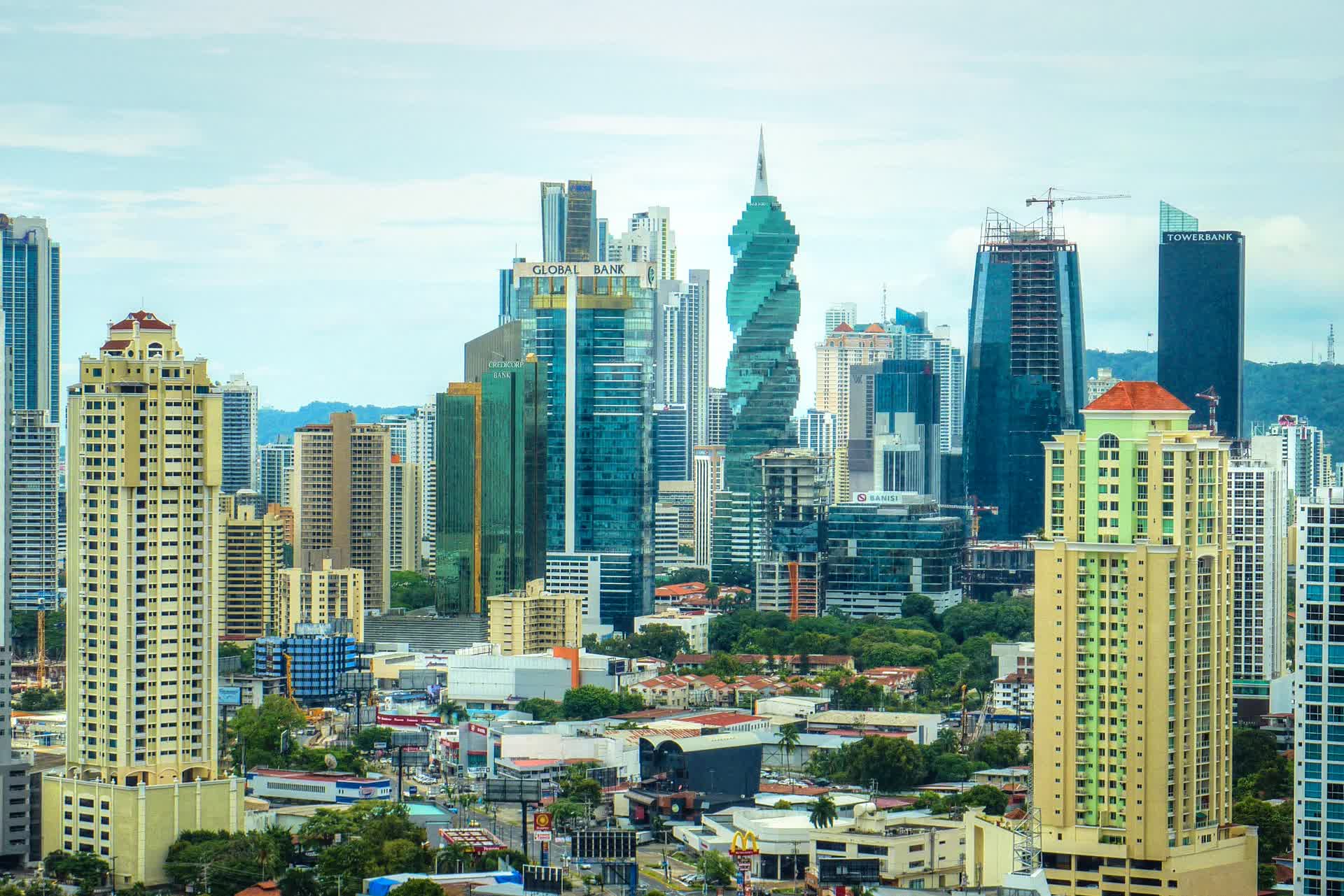
The quake is also a reminder of the exposure of fast-growing cities in seismically active regions. Panama City’s dense cluster of high-rise towers sits close to active faults, and the country had been preparing to test its response plans only days after the event. Whether building codes, evacuation routes and emergency services held up under real stress will shape the reconstruction debate.
What is still uncertain
The immediate figures are provisional. No deaths had been confirmed at the time of writing, but the USGS said casualties were possible and its modelled loss range of 1-10 per cent of GDP is an automated estimate, not a survey of actual damage. The true toll will depend on structural surveys that were only beginning.
The tsunami picture remains a narrow escape rather than a settled one: warnings were cancelled when no significant wave was detected, but the shallow, offshore rupture was exactly the kind that can generate one, and the region’s warning systems will face further tests. The sequence of aftershocks may continue for days or weeks.
Beyond the emergency phase, the open questions are political and economic: how quickly power and flights are restored, whether the damage is concentrated enough to be covered by national reserves, and whether the near-miss accelerates investment in earthquake preparedness in a country that seldom experiences such events.
Sources & reporting notes
This is a synthesis of published reporting from 9-10 October 2026, not eyewitness reporting. The earthquake is a breaking-news event with no single document covering its consequences, so this account relies on the USGS event record as a primary source plus independent reporting from BBC News, Reuters (via Geo News) and Al Jazeera. Casualty and damage figures were provisional when sources were reviewed on 10 October 2026.
- Primary source — USGS: "M 7.7 - 12 km WSW of Pitaloza Arriba, Panama"Event recorded 9 October 2026 · The magnitude, 12.6km depth, epicentre coordinates and place name, the number of felt reports, and the aftershock sequence including the magnitude 6.6 and 5.8 events.
- Independent source — BBC News: "Powerful magnitude 7.7 earthquake hits Panama, damaging buildings"Published 9 October 2026 · The 4.6 million people who felt strong shaking, the epicentre distance from Pitaloza Arriba, damage in Penonomé, President Mulino's statement, the tsunami warnings for 11 countries and their cancellation, and the Panama Canal's status.
- Independent source — Reuters via Geo News: "7.7-magnitude earthquake rocks southern Panama, damages homes, halts flights"Published 10 October 2026 · The 12.6km depth, the USGS casualty and 1-10 per cent GDP loss estimates, the Azuero-Soná fault explanation, power outages across six provinces, Tocumen airport's suspension, the halt to classes and the vessel queue at the Panama Canal.
- Independent source — Al Jazeera: "Panama earthquake: Tsunami warnings issued after magnitude 7.7 quake"Published 9 October 2026 · The countries warned of a tsunami, Chile's warning, the Penonomé damage reported by La Prensa, the closure of schools, President Mulino's call for calm, and the June Venezuela and August Colombia earthquake tolls.