What the monitors recorded
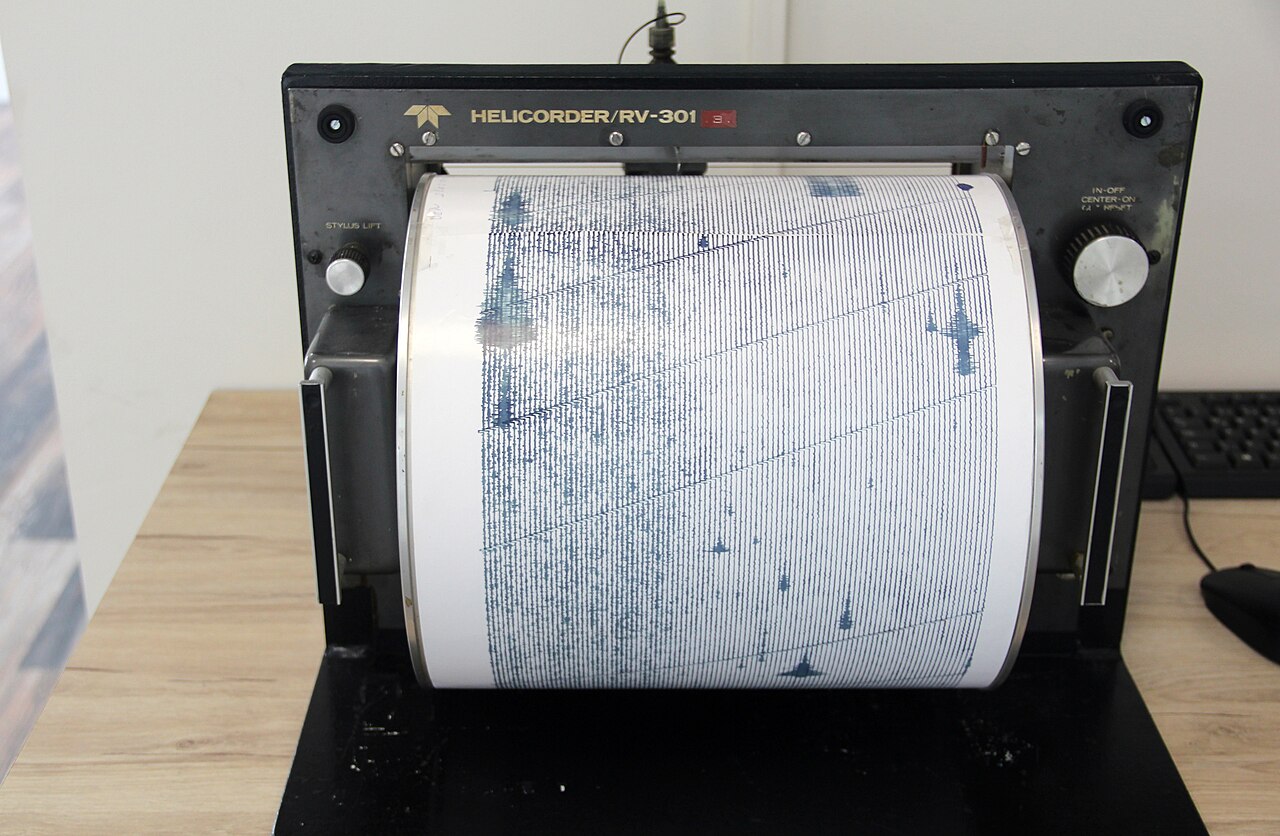
A 5.8-magnitude earthquake struck the Tajikistan-Xinjiang border region in the early hours of Friday 9 January 2026, with tremors felt in Islamabad and parts of Khyber Pakhtunkhwa but no immediate reports of casualties or damage, according to the Pakistan Meteorological Department’s National Seismic Monitoring Centre and Dawn’s reporting on 9 January 2026. The PMD logged the event at a depth of 159 kilometres in the Tajikistan-Xinjiang border region and placed the local time at about 2 a.m.
The European Mediterranean Seismological Centre, which reports magnitude on the Moment Magnitude scale, recorded the same event at magnitude 5.3 and a depth of 114 to 140 kilometres in Tajikistan, with the epicentre about 58 kilometres west of Murghob. The United States Geological Survey, which Dawn also cited, listed Pakistan, Tajikistan, China and Afghanistan among the affected countries. The USGS earthquake map, queried on 9 January, located the epicentre in the same Tajikistan-Xinjiang border zone, consistent with both the PMD and EMSC readings.
The differences between the agencies are the kind that appear on most international seismic events. PMD reports magnitude on its own national scale and at a slightly greater depth; EMSC’s 5.3 reading sits below the 5.8 PMD figure but uses the same Moment Magnitude framework that USGS applies; and the depth estimates vary by tens of kilometres depending on which network’s phase readings are weighted most heavily. The agencies converge on the location, the regional impact and the basic fact that this was a moderate, deep earthquake whose effects were felt but whose local damage was limited.
Why a deep event is felt widely but rarely destructive
The earthquake was both moderate in magnitude and unusually deep. Earthquakes below roughly 70 kilometres release their energy into a much larger volume of rock than shallow events of the same magnitude, which generally limits surface shaking in the immediate epicentral area but allows the seismic waves to travel further before they dissipate. PMD’s 159-kilometre depth and EMSC’s 114-kilometre depth both sit well within the range that produces the pattern residents experienced: a long, rolling tremor felt across Islamabad and KP rather than violent shaking concentrated near the source.
Pakistan falls at the intersection of three major tectonic plates — the Arabian, the Eurasian and the Indian — and the resulting network of faults has produced five seismic zones across the country. The Tajikistan-Xinjiang border sits on the Eurasian plate’s southern margin, where the crust is being compressed as the Indian plate continues to push northward. Quakes in this part of Central Asia frequently have intermediate or deep focal depths because the subducting slab beneath the Pamir and Hindu Kush carries seismicity to depths that the shallower crust in Iran and eastern Turkey does not reach.
This is the geological reason why events in the Tajikistan-Xinjiang border region can be felt across northern Pakistan without producing the heavy damage that a shallower event of similar magnitude would cause closer to population centres. The same mechanism explains why the PMD’s seismic feed shows almost daily small tremors from the Tajikistan and Hindu Kush regions on the Afghanistan-Pakistan border, while events that register as felt in Islamabad are typically reported only a handful of times a year.
What is still uncertain
The 9 January event did not produce reported casualties or damage by the editorial cutoff, and PMD’s public event feed confirms the regional magnitude and depth. The remaining uncertainties are conventional for a moderate Central Asian tremor: there is no public estimate of how strongly the shaking was felt on the Pakistan side beyond the “felt in Islamabad and parts of KP” wording in Dawn’s report, and no independent field assessment of any structural effects in Chitral, Dir or Gilgit-Baltistan, the northern areas where deep Central Asian events usually produce the strongest surface motion within Pakistan.
The PMD’s National Seismic Monitoring Centre in Islamabad publishes the authoritative record of felt events for the country. The Dawn article that brought the event to public attention on 9 January cites PMD, EMSC and USGS in a single paragraph, and the EMSC event page lists contributions from seismological agencies in Australia, France, Germany, Russia, India, Hungary, Romania, Indonesia, Portugal, Slovenia, Ukraine, Norway, Kazakhstan, Azerbaijan and Serbia. The convergence of so many independent networks on the same Tajikistan epicentre is the strongest indication that the 9 January event was a real, moderate Central Asian earthquake rather than a misread aftershock.
For residents who felt the tremor, the practical questions are familiar. Aftershocks of smaller magnitude than the main event are routine in the hours and days that follow a deep Tajikistan event, but the PMD’s feed does not list any clearly identified aftershock with the same epicentral parameters in the hours after the 9 January report. Future events from the same Tajikistan-Xinjiang border zone should be expected, given the underlying tectonics; the open question on 9 January was whether this tremor would be followed by a sequence of similarly felt events or stand alone, as most moderate Central Asian earthquakes do.
How this fits Pakistan’s seismic year
The 9 January tremor came after a year in which Pakistan recorded a string of small earthquakes that drew repeated calls for disaster preparedness. In October 2025, a 3.2-magnitude earthquake was recorded in Karachi, and a month earlier a 5.5-magnitude event was felt in parts of Khyber Pakhtunkhwa, according to Dawn’s October 2025 reporting. The Karachi event in particular prompted a separate Dawn article on the rising number of mild tremors in the city and on the disaster-preparedness questions those events raised.
The Tajikistan-Xinjiang border event sits in a different category from those small Pakistani crustal events, both because of its depth and because of its location well outside Pakistan’s territory. The PMD’s event feed shows that the Tajikistan region produces multiple small earthquakes every week and occasional moderate ones a few times a year, while events large enough to be widely felt in Islamabad are rarer. The 9 January event fits that latter pattern: a moderate deep earthquake from a familiar Central Asian source that crossed into Pakistan as a felt tremor rather than a damaging one.